

Drones Wildlife Research Canada. Across Canada’s wild, sprawling landscapes, drones are quietly changing the game for wildlife science. These small flying machines snap detailed images and gather data from places that, honestly, most of us would never reach safely or easily.
Drones give researchers a safer, faster, and more efficient way to monitor animals and habitats without disturbing them.
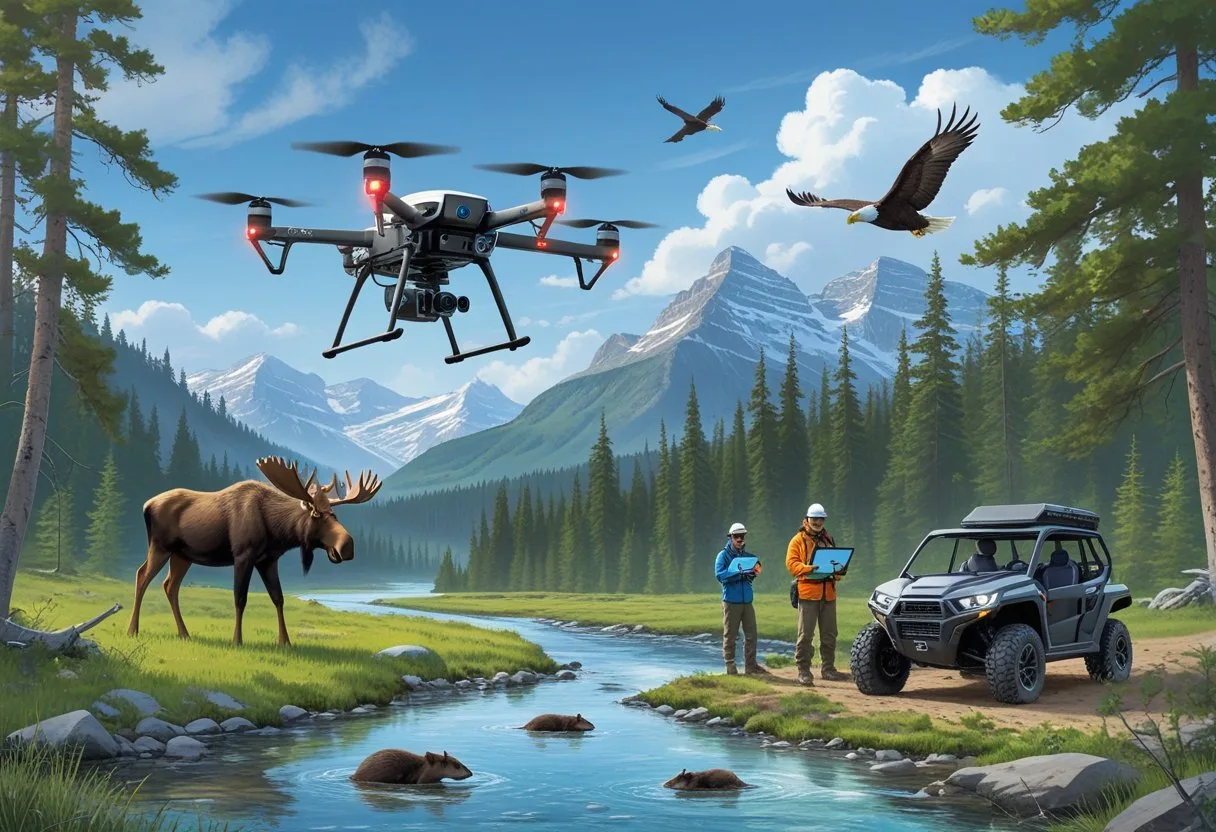
Scientists now track caribou herds up north and survey bird colonies along the coasts—all thanks to drones. These tools help conservationists count species, watch habitat changes, and follow migration patterns as they happen.
Projects like Drones for Good: studying wildlife show how drones support discovery while protecting delicate ecosystems.
Every year, as tech gets better, drones play an even bigger role in Canadian conservation. New sensors, longer battery life, and tighter safety rules keep pushing the field forward.
Key Takeaways
- Drones make wildlife research in Canada more efficient and less disruptive.
- They help scientists collect accurate data from remote or sensitive areas.
- Ongoing innovation and regulation guide safe and effective drone use.
Role of Drones in Canadian Wildlife Research
Drones have become essential tools in Canadian wildlife research. Scientists use them to collect accurate data from habitats that are tough to reach or too sensitive for boots on the ground.
They monitor animal populations, track environmental changes, and help with conservation planning. Plus, drones keep field researchers safer by reducing risky trips into remote areas.
Revolutionizing Data Collection – Drones Wildlife Research Canada
Researchers across Canada fly drones to gather high-resolution images and videos of animals and their environments. It’s a way to survey tough terrain again and again—without spooking wildlife.
That means more accurate population counts and better behavioral studies. Drones also deliver fine spatial and temporal data, mapping vegetation, spotting nests, and recording migration routes.
According to Karelian Wildlife Consultants, drones give scientists a whole new perspective on Canada’s enormous and varied wild spaces.
Thermal cameras on drones spot animals hiding under trees or snow. These images help researchers figure out where species live and how they use their habitats.
Digital records from drones are easy to share and compare, making long-term monitoring much smoother. It’s a big leap from paper logs and binoculars.
Enhancing Conservation Efforts – Drones Wildlife Research Canada
Drones help conservationists keep an eye on endangered species with less disruption. They track changes in habitat quality, spot illegal activities like poaching, and help measure climate impacts on ecosystems.
The WWF Living Planet Technology Hub points out that drones can quickly survey wetlands, coasts, and other tough spots. This speed helps teams respond faster to threats like pollution or habitat loss.
Drones also check how well restoration projects are working. For example, they monitor how vegetation bounces back after wildfires or floods.
By combining drone photos with GIS, researchers can build detailed maps to guide management and policy. That’s a pretty big deal for planning the next steps in conservation.
Key Canadian Initiatives – Drones Wildlife Research Canada
Canada leads in drone-based wildlife research with several standout projects. The Transport Canada “Drones for Good” program encourages safe, ethical drone use among biologists studying birds of prey and other species.
Universities and agencies team up to test new sensors and flight techniques. In the Arctic, drones monitor whales and seals, disturbing them less than traditional methods.
The Northrop Grumman wildlife monitoring initiative reports drones counting marsh deer and tracking cetaceans in Canada’s north.
These efforts show how Canadian researchers weave drone tech into long-term biodiversity monitoring, keeping data collection efficient, ethical, and rock-solid. For more on drone regulations and their impact, see Natural Resources Canada (DA 80+).
Types of Drones Used for Wildlife Research
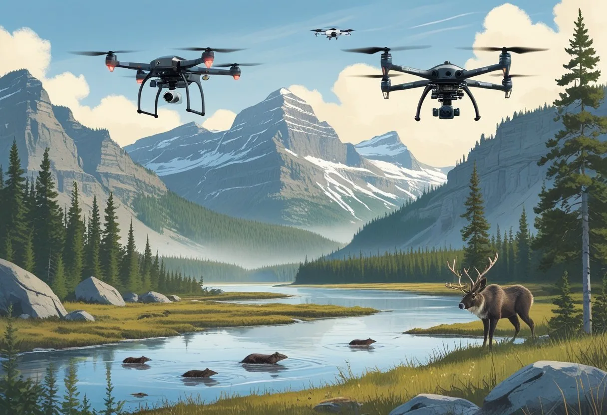
Canadian researchers rely on several drone types to study animals safely and efficiently. Each kind brings something different to the table—whether it’s covering huge distances, gathering sharp data, or leaving wildlife undisturbed.
Fixed-Wing Drones
Fixed-wing drones look like mini airplanes. Their wings give them lift, so they can fly farther while using less battery—perfect for wide habitats like forests, tundra, or coastlines.
Some can stay airborne for over an hour, letting scientists track migrations or monitor populations across big areas. However, they need space to take off and land, so they work best in open landscapes.
Newer fixed-wing models, like those from JOUAV, feature VTOL (Vertical Takeoff and Landing) so they can operate in tighter spots while still covering lots of ground.
| Feature | Benefit |
|---|---|
| Long flight time | Efficient for large-scale surveys |
| High altitude | Broad area coverage |
| VTOL capability | Easier deployment in remote regions |
Multirotor Drones
Multirotor drones—think quadcopters or hexacopters—use several rotors for lift and stability. They can hover in place, which is a huge plus for close-up shots and observations.
These drones help biologists watch nesting, count animals, or check habitats in forests and wetlands. Their vertical takeoff means they can launch from tight or rough spots.
As Forestry.com explains, multirotors are great for low-altitude imaging and quick deployment—ideal for short, focused missions that need detailed visuals.
| Feature | Benefit |
|---|---|
| Precise hovering | Stable imaging of animals |
| Vertical takeoff | Access to tight or rough areas |
| Short flight range | Ideal for focused site studies |
Specialized Sensors and Payloads – Drones Wildlife Research Canada
Modern wildlife drones carry all sorts of sensors that boost their research power. Thermal cameras pick up heat signatures, making it easier to spot animals hidden by trees or active at night.
Multispectral and LiDAR sensors measure vegetation health and map out terrain, which helps with habitat studies and environmental analysis.
The WWF’s Living Planet Technology Hub highlights how pairing artificial intelligence with these sensors lets drones ID species automatically and flag unusual activity, such as poaching or sudden habitat loss.
Common payloads include:
- High-resolution RGB cameras for visual surveys
- Thermal imaging units for nocturnal tracking
- LiDAR scanners for 3D habitat mapping
- AI modules for automated data analysis
Applications of Drones in Wildlife Monitoring
Drones offer fast, repeatable, and cost-effective ways to collect wildlife data. They let researchers capture aerial imagery, map habitats, and observe animals with less disturbance than old-school ground or crewed aircraft surveys.
These tools boost accuracy in species counts, habitat checks, and behavioral studies—especially in places that are huge or hard to reach.
Population Surveys – Drones Wildlife Research Canada
Scientists use drones to estimate animal numbers and map where they live. High-res cameras and thermal sensors help spot species in both open and forested areas, even when the light’s low.
In Canada, drones have counted caribou, seals, and seabirds across the north. They cut down flight time and risk for pilots, too.
Drones also make it easier to repeat surveys and track changes over time. As Forestry.com notes, drones offer real-time, detailed data that sharpens wildlife monitoring.
A typical workflow goes like this:
- Flight planning with GPS-based routes
- Image capture via automated flight paths
- Data processing using mapping software or AI image recognition
These steps create solid datasets for tracking population trends and making smart conservation plans.
Habitat Mapping – Drones Wildlife Research Canada
Drones with multispectral or LiDAR sensors map vegetation, water, and terrain—key features for wildlife. They can quickly spot habitat changes from fire, logging, or climate shifts.
In Canada’s boreal forests, this tech helps researchers study nesting sites and migration routes. The WWF Living Planet Technology Hub says drones gather info from hard-to-reach places with minimal disturbance.
Researchers often build orthomosaic maps and 3D terrain models to measure vegetation and see how habitats are split up. These maps guide land management and restoration.
Frequent drone flights mean conservationists get almost real-time updates on changing conditions. That’s a huge edge for quick response.
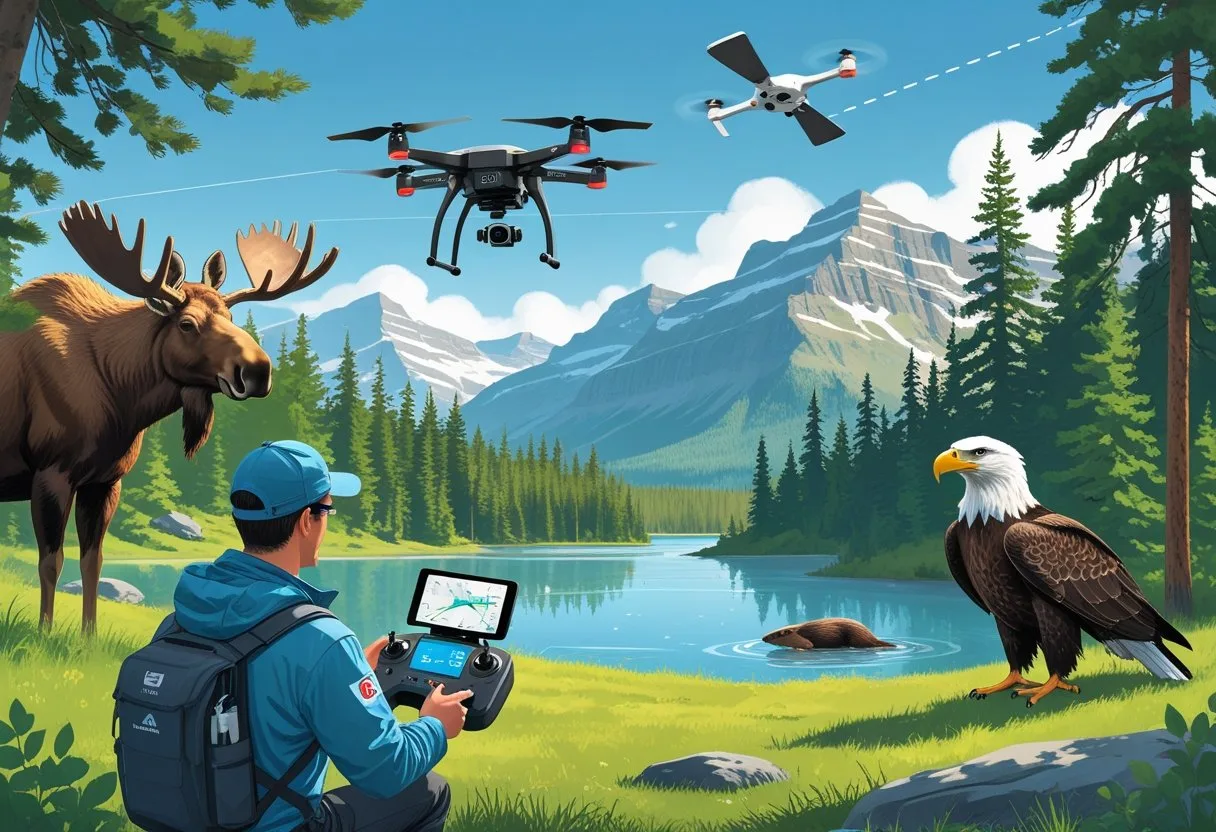
Behavioral Observation – Drones Wildlife Research Canada
Drones let scientists watch animal behavior from a distance, with less stress for the animals. They record interactions, movement, and reactions to changes in the environment.
Canadian teams have used multirotor drones to monitor bird nesting, marine mammals surfacing, and how ungulates group up or move.
As JOUAV describes, these drones are perfect for close-up work in forests or even urban areas. They can hover quietly overhead, capturing video for later study.
Researchers dig into the footage to understand feeding, mating, or migration habits. Using drones cuts down on observer bias and keeps disturbance low, so the data is more reliable.
Thermal and zoom cameras help spot nocturnal or shy species that are tough to see otherwise.
Technological Innovations in Canadian Wildlife Drones
Canadian researchers keep pushing drone tech forward. They use advanced sensors and smart data systems to track animal populations, migration, and environmental changes with more accuracy—and less impact on habitats.
For more on the latest in drone technology and its impact on conservation, check out National Geographic and WWF Canada
Thermal Imaging and Remote Sensing
Thermal imaging lets drones spot animals by detecting body heat, even in dense forests or at night. This approach makes it possible to find elusive species—think nocturnal mammals or birds tucked away in thick brush—without getting too close.
Remote sensing uses multispectral and infrared cameras to check on vegetation health, water quality, and habitat conditions. Conservationists rely on this data to see how environmental changes shape wildlife behavior and where animals tend to go.
Transport Canada backs drone innovation and collaboration projects that test out new sensors for environmental research. Drones from groups like the WWF Living Planet Technology Hub gather aerial images for wildlife surveys and anti-poaching missions.
| Technology Type | Primary Use | Example Application |
|---|---|---|
| Thermal Cameras | Detect warm-blooded animals | Counting seals or deer in low visibility |
| Multispectral Sensors | Assess vegetation and water | Monitoring forest recovery after fires |
Artificial Intelligence and Machine Learning – Drones Wildlife Research Canada
Artificial intelligence (AI) speeds up the process of analyzing massive amounts of aerial data. Machine learning can spot animal species, count them, and flag odd movement patterns or changes in habitats—tasks that would take people ages to do by hand.
Canadian researchers plug AI into drones to boost data analysis and cut down on hours spent reviewing footage. As Karelian Wildlife Consultants points out, these systems give wildlife research a real edge in accuracy and reach.
AI-powered drones also help with predictions. They estimate population trends or spot early signs of ecosystem trouble, letting scientists make smarter conservation choices without the usual delays.
Regulations and Best Practices for Drone Use in Canada
Canada has some pretty clear rules for drone operations. The main goals? Keep airspace safe, protect privacy, and avoid messing with the environment.
Operators need to follow federal aviation laws, respect wildlife, and stick to ethical standards when gathering data or images. It’s a lot to juggle, but it matters.
Transport Canada Guidelines
Transport Canada oversees drone use under Part IX of the Canadian Aviation Regulations (CARs). If you’re flying a drone that weighs 250 grams to 25 kilograms, you’ll need a drone pilot certificate and must register the drone. Anything lighter than 250 grams? No certificate or registration required.
Pilots have to keep flights below 122 meters (400 feet) and always within sight. Advanced flights in controlled airspace need NAV CANADA’s approval.
Don’t fly near airports, heliports, emergency zones, or big public gatherings—those are off-limits. Break the rules, and you could face fines up to $3,000 for individuals or $15,000 for corporations. More details are in Transport Canada’s drone safety guide.
Ethical Considerations
Researchers need to keep stress to animals as low as possible. That means staying away from nesting or breeding spots and following local rules about protected zones, as outlined in the Site Survey Guide for Compliant Drone Operations.
Transparency matters, too. Teams should let local communities know about drone activity when possible and make sure the data they collect serves real scientific purposes. Using drones responsibly builds trust in environmental research.
When snapping photos or video, researchers should avoid capturing people or private property unless they have permission. Respect for privacy and scientific integrity go hand in hand.
Safety and Privacy Concerns
Safety and privacy are big concerns with drones—no surprise there. Operators need to stay clear of people, wildlife, and sensitive locations like national parks. Unauthorized flights can lead to fines up to $25,000, according to Parks Canada.
Keeping flight records and checking equipment helps keep things running smoothly. The Privacy Implementation Notice 2025-03 actually recommends keeping logs when drones collect personal or environmental data, just to stay accountable.
Before every flight, researchers should use tools like the Drone Site Selection Tool to check for restricted or dangerous areas. These steps protect people, wildlife, and the research itself. For a deeper dive into drone regulations and best practices, check out [Government of Canada – Drones]
Challenges and Future Directions
Drone technology keeps changing how wildlife research works, for better and worse. It’s a balancing act—innovation vs. safety, cost, and environmental responsibility. And honestly, the pace of change can feel overwhelming.
Operational Limitations
Drones run into battery and weather issues, especially out in Canada’s wild and chilly regions. Short battery life means smaller coverage areas, so teams often plan multiple flights or use hybrids.
Bad weather—wind, rain, freezing temps—can mess with both performance and sensors. Payload is another headache. High-res cameras or LiDAR systems add weight, which cuts flight time. So, researchers have to choose between image quality and how long the drone stays up.
Managing all the data is no picnic, either. Huge image files demand powerful computers and plenty of storage. According to Wildlife monitoring with drones: A survey of end users, lots of users say processing all that imagery isn’t easy.
Overcoming Adoption Barriers
Cost and training can be real barriers for conservation teams. Drones and sensors aren’t cheap, and you need skilled pilots to stay safe and legal. In Canada, strict Transport Canada rules mean operators need licenses and have to follow flight restrictions, as explained in Drones For Good: studying wildlife.
Collaboration helps. Agencies, universities, and private groups sometimes share drone fleets or offer open-access training to cut costs and keep things consistent.
Ethical worries slow things down, too. Researchers have to make sure drones don’t disturb wildlife. Standard flight protocols—altitude, noise, observation time—help keep stress low for animals. For more on ethical research, see [Nature – Drones in Ecology]
Emerging Trends in Research
New tech is opening up fresh possibilities. Advances in AI and deep learning now let computers automatically spot animals in drone images—faster and more accurate than ever. Studies like Collectively advancing deep learning for animal detection in drone imagery show real progress in identifying species and behaviors.
Thermal and multispectral sensors keep getting smaller and cheaper, which means more night surveys and better vegetation maps.
Looking ahead, researchers want to integrate drones with satellites and ground-based systems for wider ecological monitoring. As rules and data-sharing platforms improve, drones will keep supporting precise, low-impact wildlife research all across Canada. For a global perspective, see [National Geographic – Drones and Wildlife]
Frequently Asked Questions
Drones let researchers collect detailed ecological data, watch wildlife from a distance, and explore remote places without much disruption. In Canada, they’re changing the way conservation and science work, sparking new rules and ongoing debates about their place in nature.
How are drones being utilized for wildlife monitoring in Canadian ecosystems?
Researchers use drones to survey animal populations, map out habitats, and track species across huge or tough-to-reach areas. In Canada’s sprawling wilderness, drones help capture wildlife behavior and migration with crisp imagery. Projects featured by Transport Canada highlight their role in studying birds of prey and other species, all while keeping things safe and efficient.
What are the ethical considerations for using drones in wildlife research in Canada?
Ethics come first. Operators aim to avoid stressing or harming animals, especially during sensitive times like breeding or nesting. Researchers follow guidelines from groups such as The Wildlife Society’s Drone Working Group to make sure, they use drones responsibly and professionally.
What are the advantages of using drone technology over traditional wildlife tracking methods?
Drones cut out the need for crewed aircraft or big ground teams, lowering both costs and risks. They collect data fast and can go back again and again, which boosts accuracy. According to WWF’s Conservation Drones, drones also reach places people just can’t get to without causing a commotion.
How does drone usage impact animal behavior during research studies?
Most research shows that, when flown at the right altitude and distance, drones don’t bother animals much. Some species might react to the noise or movement, so researchers tweak flight paths and schedules to minimize stress. Ongoing reviews, like those in Wildlife monitoring with drones: A survey of end users, keep tabs on these effects.
What regulations govern the use of drones for research purposes in Canadian airspace?
Drone pilots in Canada have to stick to Transport Canada’s rules for registration, licensing, and flight operations. The National Research Council Canada keeps these requirements up to date, especially for flights near wildlife or protected areas. For international standards, check out [International Civil Aviation Organization – Unmanned Aircraft Systems]
What advancements in drone technology are most beneficial for wildlife research applications?
Drone tech has come a long way lately. Now, we’re seeing longer battery life and motors that hardly make a sound.
There are also some wild improvements in sensors—thermal imaging and mapping have gotten way more advanced. That means scientists can gather detailed data without disturbing wildlife much.
Companies like Wildlife Drones built systems for tracking multiple tagged animals in real time. That’s a huge boost for field research efficiency. If you’re curious about broader impacts, check out National Geographic’s coverage or dive into Nature’s analysis of drone tech in conservation.


")


")

