

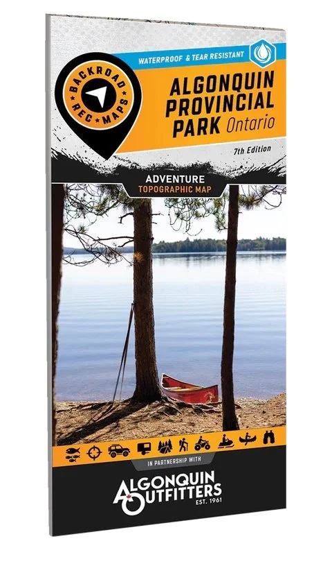
Backroad Maps has released a brand new double-sided version of their Algonquin Provincial Park map. It is waterproof and features an overview Map at 1:140K on one side and a detailed 1:75K map on the other.
Navigate one of Canada’s most iconic wilderness destinations with confidence using the 7th Edition Algonquin Park Waterproof Recreation Map. Created by Backroad Maps in partnership with Algonquin Outfitters, this field-tested map delivers the trusted detail paddlers, campers, anglers, and backcountry explorers rely on.
Covering 7,653 km² (2,955 mi²) and home to more than 2,400 lakes, Algonquin Provincial Park offers endless opportunities for canoeing, camping, hiking, fishing, and wildlife viewing. This map is designed to help you plan smarter, travel safer, and discover more once you are out there.
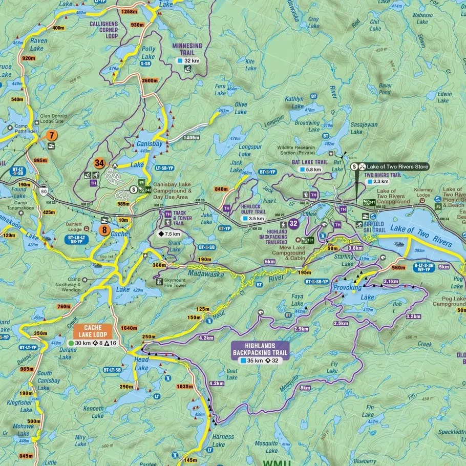
The double-sided design combines a complete park overview at 1:140,000 scale with highly detailed coverage of the Highway 60 Corridor at 1:75,000, making it easy to plan everything from multi-day canoe expeditions to accessible day trips.
Expanded paddling coverage highlights canoe routes with distance and difficulty ratings, access points, portages, and paddle-in campsites. You will also find backpacking, hiking, biking, skiing, and winter routes, plus advanced fishing data including species, stocking information, and water access points.
Printed on durable, waterproof, and tear-resistant material, this oversized 86 × 117 cm (34 × 46.25 in) map is built to perform in real backcountry conditions season after season.
This is their 7th edition measuring 86 x 117 cm (34 x 46.25 inches) and it covers Achray, Algonquin Provincial Park, Barron Canyon, Barry’s Bay, Basin Depot, Brent, East Gate, Highway 60 Corridor, Kingscote, Kiosk, Madawaska, West Gate, Whitney and more.
Features
2 Maps in 1 oversized format (86 × 117 cm / 34 × 46.25 in): Full park overview plus a detailed Highway 60 Corridor map with essential trip charts and planning tools
Created in partnership with Algonquin Outfitters for unmatched local expertise
30+ canoe routes with distances, difficulty ratings, and portage lengths
Campgrounds, paddle-in, and backcountry campsites
Backpacking, hiking, biking, skiing, and winter routes
Fishing species, stocking data, and regulations
Trip-planning tools including access points, attractions, park information, rules, resources, and QR-linked updates
Industry-leading topographic detail with clear, easy-to-read colour coding
Waterproof and tear-resistant construction built to withstand rain, mud, snow, and rough handling
GPS-Compatible: Seamlessly integrates with GPS devices and mobile apps for reliable navigation
Stay connected to Backroad Maps by following them on Facebook and Instagram.


